Sunday morning, rain is falling…again. And it will keep raining well after that.
A low-pressure system will tap into deep atmospheric moisture to end the weekend, ushering in the second Sunday in a row with flood potential.
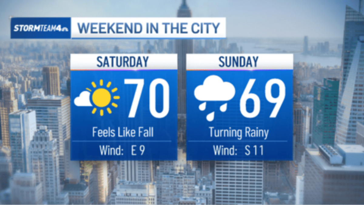
The weekend will start very dry, with a desert-like air mass in place that will make Saturday a gorgeous day. But a plume of deep moisture will spread over the region early Sunday, providing copious moisture to fuel downpours. A low-pressure system will provide the spark to generate the rain.
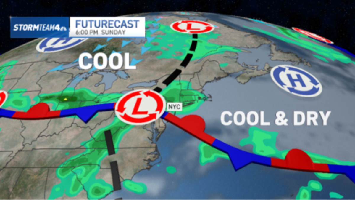
Unlike last week’s flooding rain event, which was concentrated over a few hours in the morning, this Sunday’s rain is expected to last most of the day, ramping up in the morning and continuing into the evening.
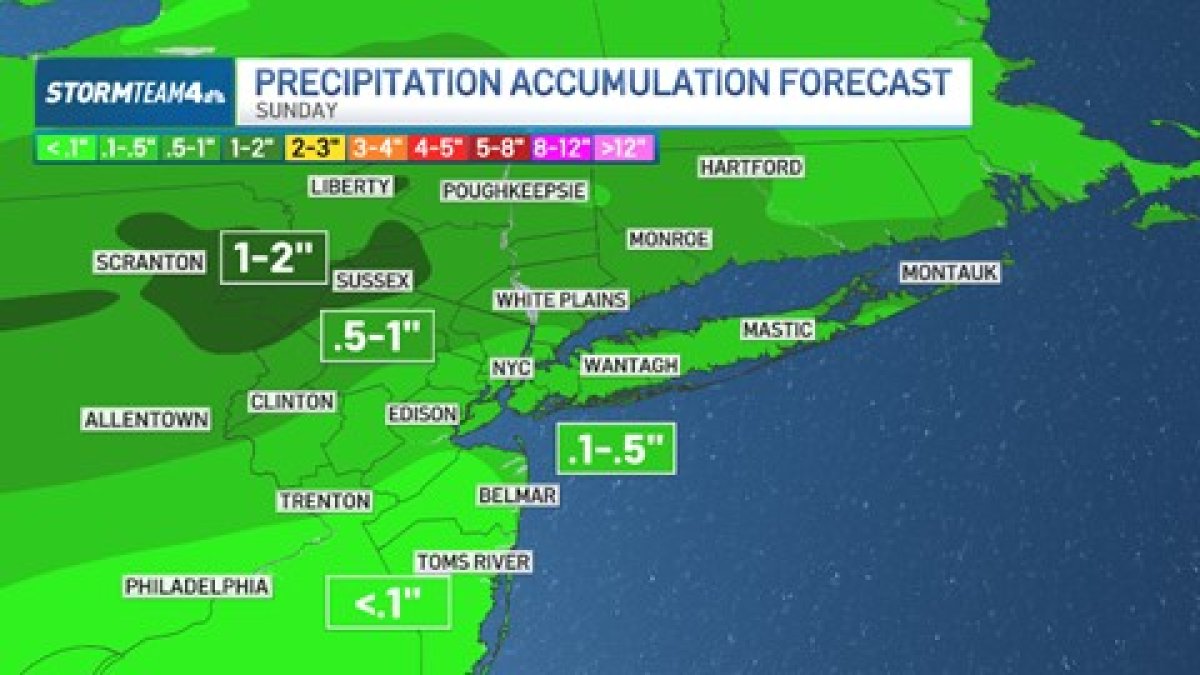
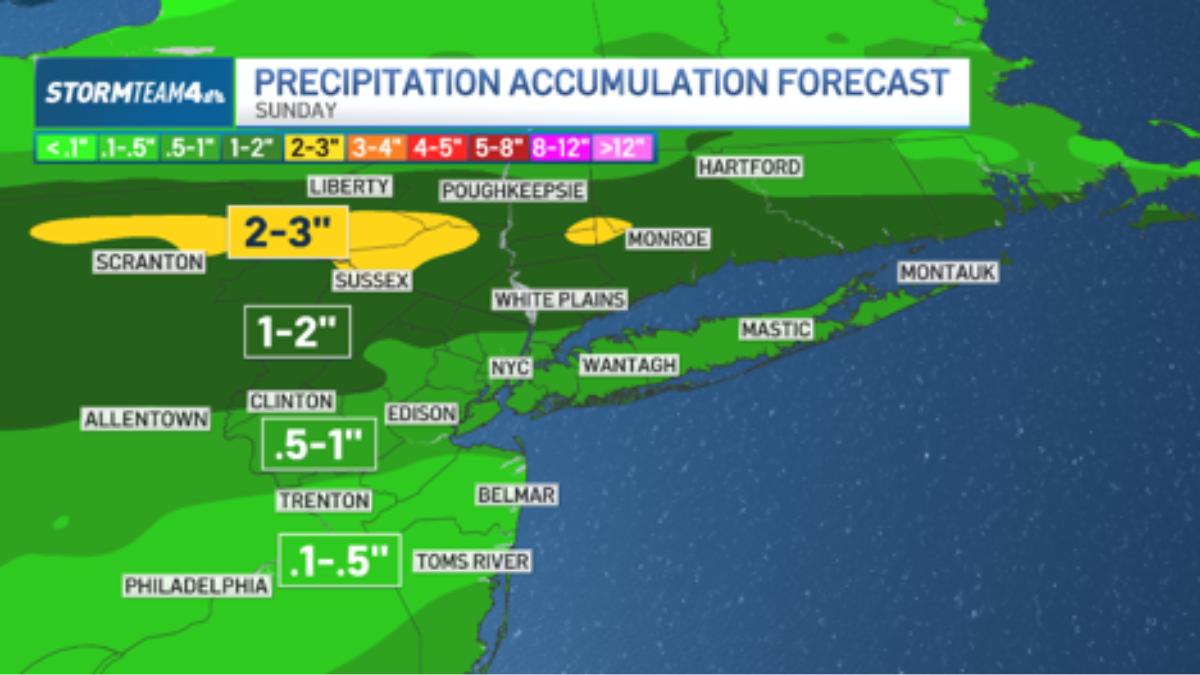
Rain totals will be below 3 inches for nearly the entire tri-state area, with most seeing between half an inch and two inches. It will come from moderate rain that lasts for several hours.
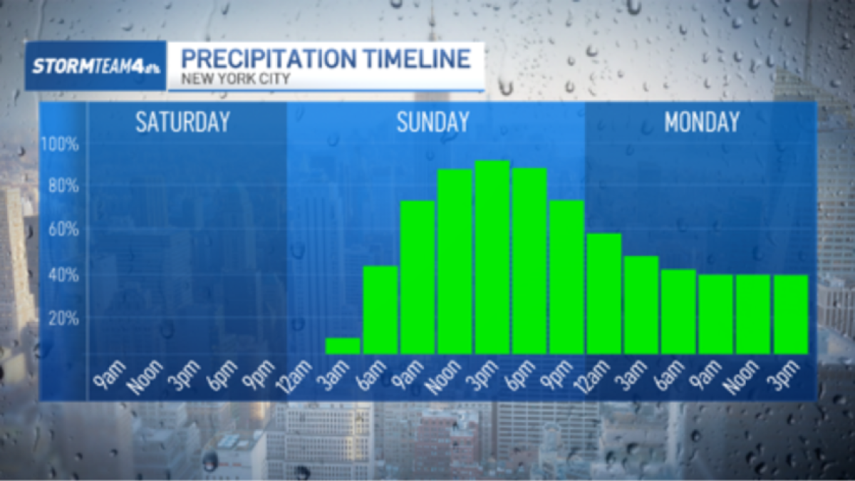
This type of rain should not cause flash flooding because it’s spread over a long period of time.
However, concentrated bands of heavy downpours may set up and deliver significantly higher amounts to isolated locations. This is where flash flooding may become a big problem.
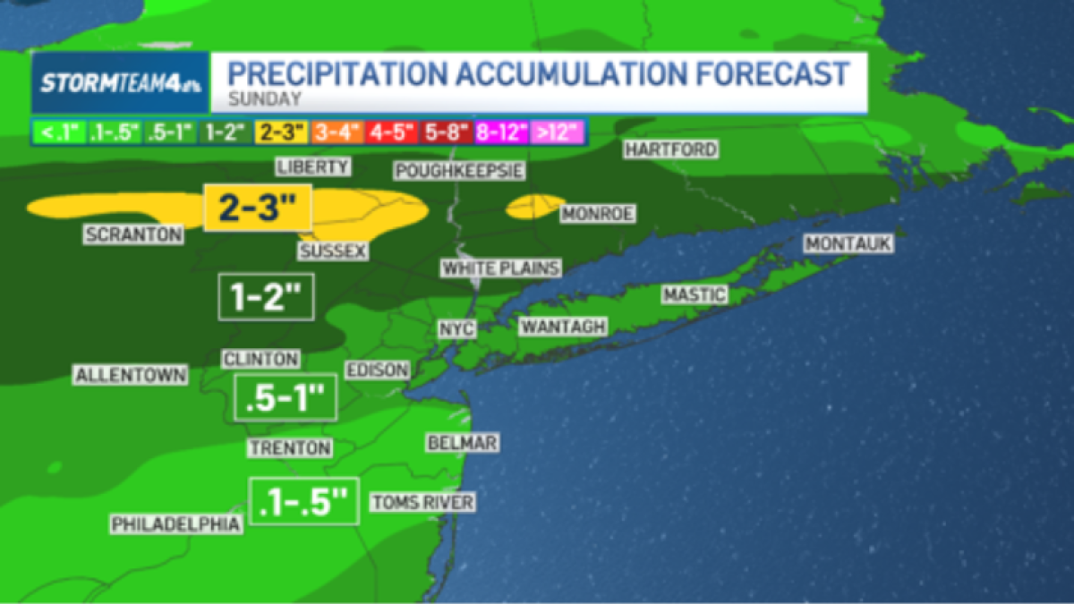
Current long-range forecast models put the heaviest rain through the Hudson Valley, north of New York City.
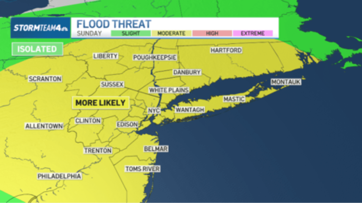
The exact locations of heaviest rain are difficult to predict, and adjustments to the forecast can be expected. Because of this, a very broad risk area, including the entire tri-state, is currently flagged by the Weather Prediction Center for a moderate risk of flash flooding.
The forecast will become clearer as we get closer to Sunday, allowing higher certainty on which areas could get the heaviest rain.
Stay with Storm Team 4 for updates to the forecast online, on our NBC New York app, on social media, on air and wherever you stream so that you get the most updated forecast.